project of Technology Agency of the Czech Republic
(No. TA02020395)


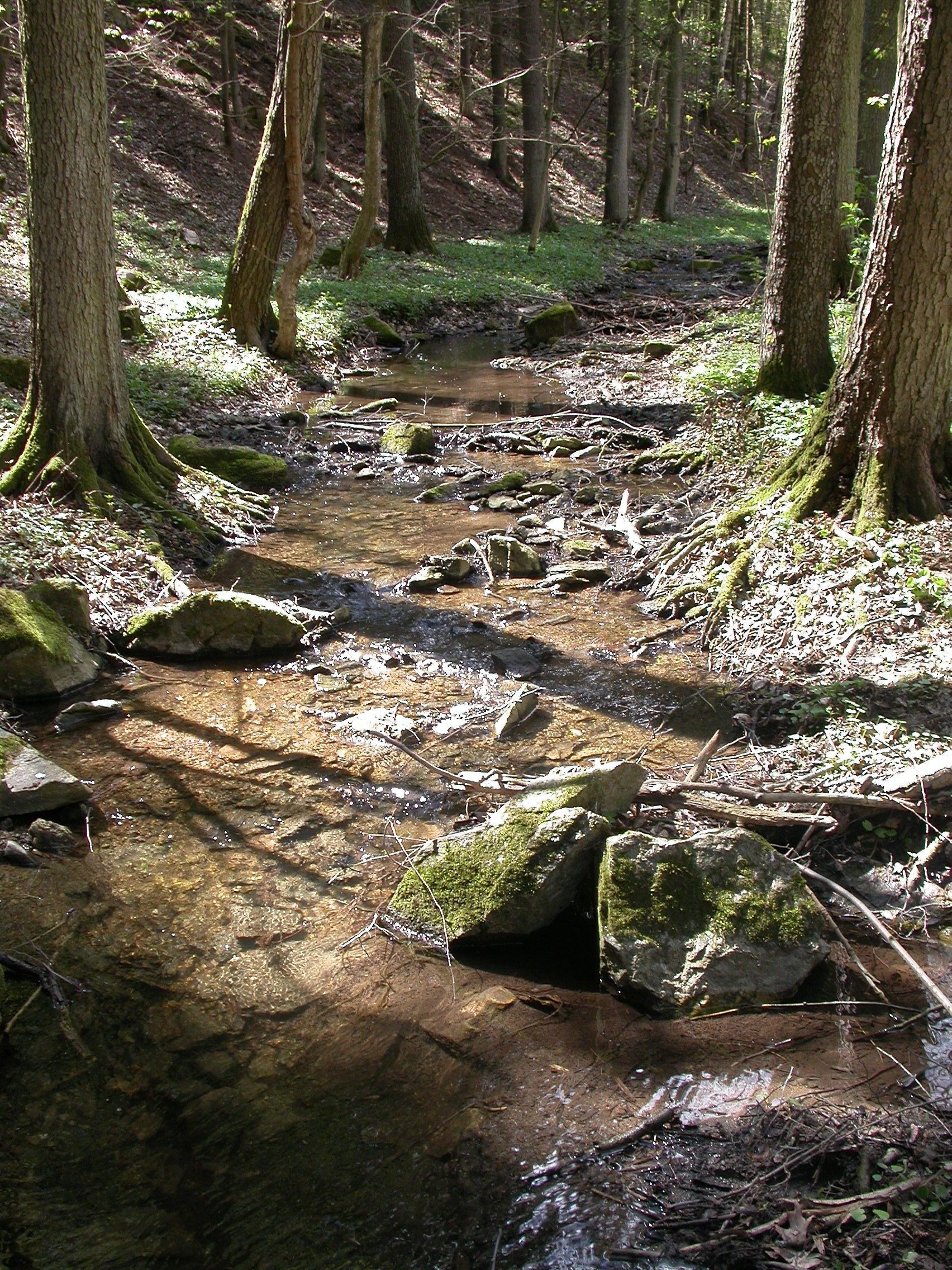
Studied localities represent streams that dry up; the continuity of surface flow should be interrupted in a stretch which is at least 1 km long, only isolated pools may remain within this stretch. Under the conditions of the Czech Republic desiccation occurs mostly in late summer. The length of the dry period ranges from few days to several months. Selected localities should have dried up repeatedly during the last decade, either due to low rainfall or due to intense water abstraction (such sites cannot be used for modelling of discharges depending on rainfall).
Detectable changes in the composition and structure of invertebrate communities can be expected in the case of regular drying as the communities must adapt to repeated exposure to this stressor. The most suitable study regions are areas of low rainfall, e.g. South Moravia, lowlands in the Elbe river basin or a rain shadow at the foothills of the Ore Mountains (Krušné hory). Karst areas are also suitable due to high permeability of the soil and bedrock.
To minimize the impact of other factors potentially overshadowing the effect of drought, only those localities were selected for further research that are not affected by regular discharge fluctuations (e.g. fluctuations caused by peak hydropower plants), heavy pollution caused by both point and diffuse sources, large water reservoirs altering hydrological regime or strong morphological degradation.